The Need for Accurate Mapping and Localization in Drone Operations
LightWare’s scanning microLiDAR® sensors provide high-speed planar range measurements, calculating the distance between the sensor and surrounding objects across a continuous sweep. SLAM algorithms use these distance readings, together with motion data, to determine the vehicle’s position and build a 2D representation of its environment. This allows drones and robots to accurately localize and navigate in real time, even when GPS signals are weak or unavailable. Unlike full 3D mapping systems, this process focuses on precise distance and positioning awareness rather than creating detailed volumetric maps.
LightWare’s microLiDAR® plays a key role in empowering drones to perform SLAM with unparalleled precision. By providing high-resolution, real-time data, LightWare’s LiDAR sensors enable drones to build accurate awareness of its surroundings and localize themselves away from obstacles with ease. This capability makes SLAM-based drone operations more reliable and efficient across a wide range of industries.
What is SLAM (Simultaneous Localization and Mapping) for Drones?
SLAM is a technique that allows drones to understand their surroundings by continuously measuring the distance to nearby objects and using that data to determine their position in space. As a drone flies, it uses sensors to scan its environment and generate a 2D map or spatial representation of obstacles around it.
One of the key advantages of SLAM is that it operates independently of GNSS signals. This makes it invaluable in environments where GNSS may be weak or unavailable, such as indoors, underground, in dense forests, or in urban areas with limited satellite visibility.
LightWare’s microLiDAR® sensors enhance SLAM by providing precise, high-frequency distance measurements that enable accurate localization and mapping. This capability ensures stable, reliable drone navigation and obstacle awareness in complex or GPS-denied environments, essential for safe and autonomous flight.
Key benefits of LiDAR for SLAM in drone operations
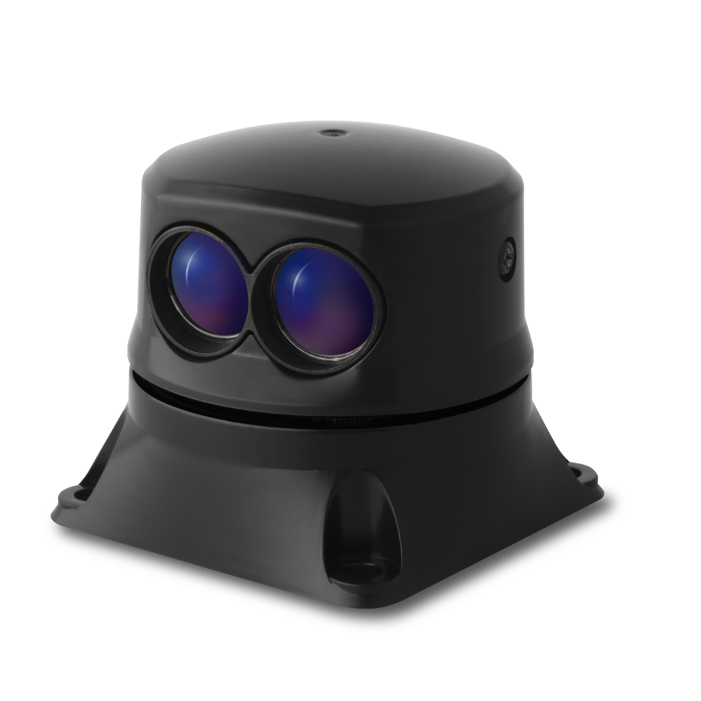
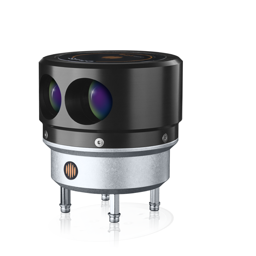
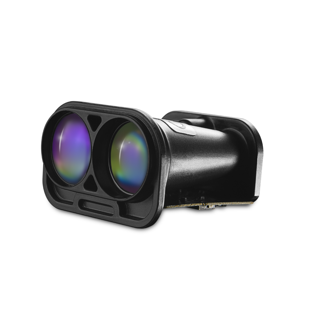
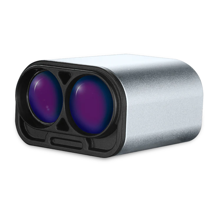
LightWare’s microLiDAR® offers several distinct advantages that make it ideal for SLAM-based drone operations:
1. High-Precision Mapping and Localization
These LiDARs provide precise, real-time distance measurements, enabling drones to build accurate 2D spatial representations of their surroundings. This ensures that drones can reliably determine their position, even in environments where GNSS is unreliable or unavailable.
2. Real-Time Data Processing
MicroLiDAR® sensors deliver rapid range data that SLAM algorithms can process instantaneously. This allows drones to continuously update their position and spatial map as they move through their environment.
3. Reliable Performance in Challenging Environments
LiDAR functions effectively where traditional sensors like GNSS or cameras may struggle. For example, indoors, in urban canyons, or dense forests. LightWare’s microLiDAR® ensures accurate localization and mapping even in these complex conditions.
4. Enhanced Autonomous Operations
By using LiDAR-based SLAM, drones can operate autonomously without relying on external navigation aids. This is particularly valuable for precision tasks such as inspection, surveying, and navigation in GPS-denied spaces.
5. Ultra-Light and Compact Design
LightWare’s microLiDAR® is compact and ultra-light, so it won’t compromise drone flight time or maneuverability. This makes it an ideal solution for drones requiring SLAM-based navigation without sacrificing mobility or efficiency.
Applications of LiDAR for Drone SLAM
The ability to perform SLAM with LiDAR opens up a wide range of applications across various industries:
1. Agricultural Drones
LiDAR-based SLAM allows agricultural drones to autonomously navigate fields, determine their position, and monitor crops. This precise localization helps optimize coverage, reduce overlap, and improve the efficiency of treatments and surveys.
2. Infrastructure Inspection
Drones equipped with LiDAR SLAM can safely navigate around structures such as bridges, power lines, and wind turbines. By continuously measuring distances to nearby objects, drones can track their position and detect obstacles, ensuring reliable inspections even in GPS-denied environments.
3. Autonomous Delivery
LiDAR-based SLAM helps delivery drones navigate complex environments by providing real-time distance measurements and spatial awareness. This allows safe and efficient navigation where GNSS signals are weak or unavailable.
4. Surveying and Mapping
SLAM-enabled drones can autonomously cover large areas while collecting range-based spatial data. This supports accurate positioning and obstacle awareness, improving operational speed and reliability without manual control.
5. Surveillance and Security
Security drones use LiDAR SLAM to navigate GNSS-denied areas, including urban zones, indoor spaces, or underground facilities. LightWare’s microLiDAR® provides reliable distance measurements, enabling precise reconnaissance and surveillance even in challenging conditions.
Ideal microLiDAR® sensors
for SLAM
$449.00 excl. Taxes
The SF45/B is the world’s smallest, lightest, scanning microLiDAR®. This 5kHz oscillating sensor is highly configurable, with the ability to scan to 320°.
$799.00 Original price was: $799.00.$499.00Current price is: $499.00. excl. Taxes
/
$339.00 excl. Taxes
The LightWare LW20/HA microLiDAR® is a high accuracy, ultra compact, LiDAR in an IP67 enclosure.
Why choose LightWare’s microLiDAR for SLAM?
1. Ultra-Precise and Reliable
MicroLiDAR® provides accurate, high-frequency distance measurements that enable precise 2D localization and obstacle awareness. This level of accuracy is critical for SLAM-based navigation, even in environments with limited or no satellite access.
2. Seamless Integration
These LiDARs are ultra-light and compact, integrating easily into a wide range of UAV platforms. This allows SLAM algorithms to function effectively without requiring extensive modifications to existing drone systems.
3. Proven Performance in Challenging Environments
LightWare’s microLiDAR® performs reliably in GPS-denied areas, dense urban environments, or indoor spaces, providing continuous distance measurements for accurate navigation where traditional systems may fail.
4. NDAA Compliant and Secure
MicroLiDAR® sensors are NDAA-compliant and Blue UAS framework listed, making them suitable for government, defense, and high-security applications that require adherence to strict standards.
Enhance Your Drone’s Mapping and Localization with LightWare’s MicroLiDAR
LightWare’s microLiDAR® enables drones to perform Simultaneous Localization and Mapping (SLAM) with precise and reliable 2D localization and obstacle awareness. Whether conducting inspections, autonomous deliveries, or supporting survey navigation, microLiDAR® helps your drone operate efficiently and autonomously, even in GNSS-denied environments.
Explore LightWare’s microLiDAR® technology today to see how it can enhance your drone operations. Contact us for more information on how we can support your specific needs.
We offer technical support to ensure you are matched with the product that best meets your requirements.
our clients’ stories
LightWare microLiDAR® is proud to support our pioneering clients as they deliver innovative solutions in their respective industries. Here’s how they apply LiDAR and what they have to say about our microlidar® sensors.


