
CubePilot Global
“Having an over a decade of trusting LightWare, there simply isn’t another option for long range lidar ranging.”
Flying for WildLife
“We were completely blown away by both the SF30/D and the tablet app that was built for us in such a short period of time to really help us do what we do...”
WISPR Systems
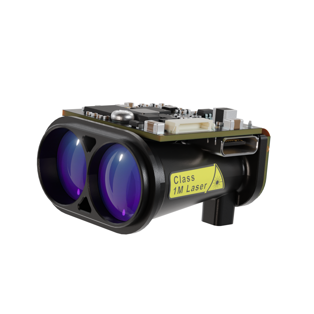
“LightWare has been a no-brainer upgrade for us. Their sensors increased our obstacle detection range by about 233%. The quality is just outstanding.”