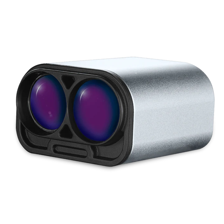
Precision landing LiDAR for UAVs
Safe and reliable landings are one of the most critical challenges for unmanned aerial vehicles (UAVs), particularly when operating in dynamic environments such as moving platforms. LightWare’s precision landing LiDAR technology delivers the accuracy and stability needed to achieve smooth landings in even the most demanding conditions. By providing UAVs with exact altitude and distance measurements in real time, LightWare enables operators to conduct missions with greater confidence, efficiency, and safety.
What does LiDAR mean for precision landing?
LiDAR, or Light Detection and Ranging, is a remote sensing technology that measures distances using laser pulses. Within UAV systems, LiDAR plays a vital role in ensuring precise altitude awareness during flight and descent. Precision landing LiDAR sensors are specifically designed to deliver the accuracy necessary for controlled landings, even when external conditions are variable.
One of LiDAR’s key strengths lies in its speed and adaptability. By rapidly processing distance measurements, LiDAR enables UAVs to make quick, real-time adjustments to their descent path, even when landing on dynamic surfaces like moving ships. This ability to continuously adjust to changes in direction and platform movement ensures smooth landings under complex conditions.
For example, offshore energy operators have used UAVs equipped with LiDAR to complete autonomous landings on oil platforms, where deck movement and heavy crosswinds make precise positioning extremely challenging. In these scenarios, LiDAR’s rapid data processing allows the UAV to compensate for unpredictable conditions in real time, delivering consistent landing performance where traditional navigation systems would falter.
By continuously supplying precise altitude data, LiDAR allows UAVs to make decisions in real time, minimizing the risk of hard landings or system damage. The speed of this data processing makes LiDAR especially effective in environments where rapid directional changes are common. This results in enhanced stability even during unpredictable motions such as wind gusts or waves, ensuring that the UAV remains on track despite external forces.
For UAV operators, these advantages translate into greater mission success rates and reduced risk of equipment loss, particularly when navigating intricate landing environments such as moving ships or vehicles.
How UAVs benefit from LiDAR for precision landing
Landing a UAV on a moving platform such as a ship deck or a ground vehicle presents unique challenges. Surface motion, unpredictable wind conditions, and restricted landing space increase the difficulty of achieving a safe descent. Traditional navigation methods alone often lack the precision required for these scenarios.
LightWare’s microLiDAR® technology addresses these challenges by providing exact altitude and distance measurements, even as platforms shift and conditions change. With continuous updates, the UAV can dynamically adapt its descent path, ensuring both stability and accuracy. This capability is particularly valuable in adverse weather or turbulent environments where GNSS or barometric data may be unreliable.
The benefits of precision landing LiDAR include:
- High measurement accuracy for safe descents: LiDAR’s precise measurements ensure the UAV maintains the correct altitude, even in challenging landing zones.
- Real-time feedback to maintain stability: The system’s quick response time enables the UAV to stabilize immediately, even during complex maneuvers or when adjusting to a moving target.
- Enhanced reliability in environments where other navigation systems may falter: LiDAR’s ability to adapt rapidly to changes in direction and environment makes it highly reliable, especially in situations where GNSS or visual sensors might struggle.
In practical terms, LiDAR allows UAVs to approach landing zones smoothly, reduce oscillations caused by external forces, and execute landings with remarkable precision.
Autonomous shipboard landing of a VTOL UAV
Vertical take-off and landing (VTOL) UAVs are increasingly deployed for maritime operations, including cargo delivery, reconnaissance, and surveillance. However, the challenge of autonomous landings on ship decks remains significant due to constant motion and restricted space.
LightWare’s microLiDAR® enables VTOL UAVs to detect surface height accurately and adapt to real-time movements of the ship deck. By maintaining precise altitude control, the system reduces the risk of missed landings or damage. This capability transforms shipboard operations by enabling UAVs to perform repeated, autonomous landings with high reliability.
The compact and rugged design of LightWare’s microLiDAR® further ensures dependable performance in harsh maritime environments, where resistance to vibration, temperature variation, and moisture is essential.
Applications of precision landing LiDAR
Precision landing is one of many applications enabled by LightWare’s microLiDAR® technology. These sensors also support critical UAV capabilities such as:
- Position Hold: Stable hovering in dynamic environments is essential for safe landings. LiDAR allows UAVs to maintain accurate positioning even when external conditions change.
- Terrain Following: When approaching uneven surfaces, LiDAR provides UAVs with real-time terrain data, ensuring smoother adaptations during descent.
- Above Ground Level: Maintaining consistent altitude is vital for landing accuracy. LiDAR delivers precise above-ground-level measurements to enhance descent stability.
These applications illustrate the versatility of LightWare’s microLiDAR® sensors, which extend far beyond basic landing functions.
Why choose LightWare’s LiDAR technology?
LightWare stands apart in the LiDAR industry by offering high-performance solutions tailored for UAV integration. Key differentiators include:
- Exceptional accuracy: Provides precise altitude and distance measurements required for safe landings.
- Compact and ultra light design: Optimized for UAV payload capacity without compromising performance.
- Rugged durability: Engineered to withstand demanding environments, from maritime to remote field operations.
- Cost-efficiency: Delivers advanced capabilities at a price point that supports scalable UAV deployment.
- NDAA Compliance: LightWare’s microLiDAR® technology complies with the National Defense Authorization Act (NDAA), ensuring that our solutions meet the highest standards for security and integrity in security-related operations.
- Blue UAS Certification: A selection of our products have earned Blue UAS Framework listing, guaranteeing that they meet the rigorous requirements for use by U.S. government entities, making them ideal for both commercial and government applications.
Compared to alternative systems, LightWare’s microLiDAR® combines superior measurement reliability with easy integration, making it a preferred choice for UAV precision landing applications.
Ensuring smooth landing on platforms
Precision landing LiDAR has become indispensable for UAV operations in dynamic environments. By providing real-time altitude and distance data, LightWare’s technology ensures safe, stable, and repeatable landings – even on moving platforms such as ship decks.
From position hold and terrain following to maintaining accurate above-ground levels, LightWare’s microLiDAR® sensors enhance UAV capabilities across a wide range of applications. With unmatched accuracy, compact design, and rugged durability, LightWare continues to set the standard for UAV precision landing technology.
For operators seeking to maximize UAV performance and reliability, LightWare’s LiDAR is the solution of choice. Learn more about our applications or contact us to explore how our technology can transform your UAV operations.
Explore
our step by step guide
Detailed instructions on how to integrate a DJI M350 drone with LightWare LW20/C sensors are available on LightWare’s Github page.
This guide walks you through installation and setup, providing the tools you need to enhance your drone’s capabilities.
LightWare’s LW20/C microLiDAR®